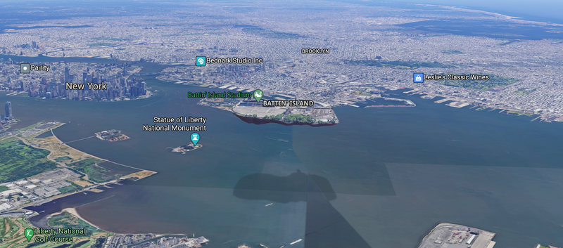
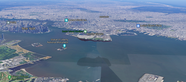
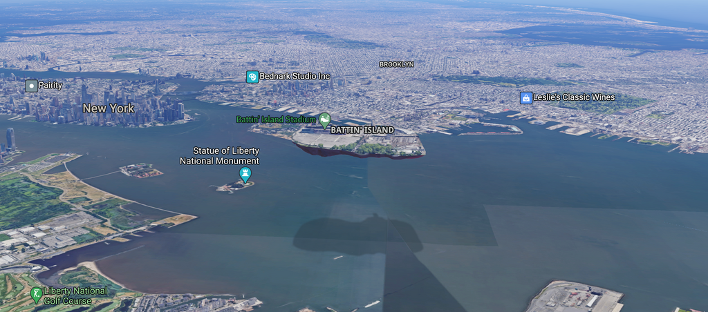
File:Battin' Island Google Maps.png
From Blaseball Wiki
Revision as of 16:52, 12 September 2020 by Five17twenty20 (talk | contribs)

Size of this preview: 800 × 353 pixels. Other resolutions: 320 × 141 pixels | 640 × 282 pixels | 1,024 × 452 pixels | 1,280 × 565 pixels | 2,352 × 1,038 pixels.
Original file (2,352 × 1,038 pixels, file size: 3.43 MB, MIME type: image/png)
A screen capture of Battin' Island as it appears on Google Maps
File history
Click on a date/time to view the file as it appeared at that time.
| Date/Time | Thumbnail | Dimensions | User | Comment | |
|---|---|---|---|---|---|
| current | 16:52, 12 September 2020 | | 2,352 × 1,038 (3.43 MB) | Five17twenty20 (talk | contribs) |
You cannot overwrite this file.
File usage
There are no pages that use this file.
